

Unusual Ship Clusters Signal GPS Disruption
Hundreds of ships appear clustered in unusual patterns, but their locations are inaccurate. "Oh my goodness," says Michelle Wiese Bockmann, senior maritime intelligence analyst at Windward, a maritime AI company, as she examines live positions broadcast by commercial vessels near Iran, the United Arab Emirates, and Qatar.
"I'm up to… 35 different clusters," she notes while viewing a map of the Strait of Hormuz and adjacent areas.
The clusters are strange circular formations of icons on the map, each representing a real ship. However, ships do not naturally group in tight, perfect circles, nor do they hover over land, which is where some clusters appear. These anomalies indicate that GPS coordinates have been disrupted, obscuring the vessels' true locations.
Wars extend beyond conventional weapons; electromagnetic waves are also a battlefield. GPS jamming, invisible to the naked eye, can cause serious disruptions, impair communications, and potentially lead to fatal accidents.
GPS Jamming in Global Conflicts
In recent years, GPS jamming has affected aircraft in Europe, including one used by the President of the European Commission. It is also a daily feature of the ongoing war in Ukraine. With the recent escalation of conflict in the Middle East, electronic warfare is expanding into new regions.
The current interference affecting ships around the Strait of Hormuz is not the first instance of GPS jamming impacting vessels' Automatic Identification Systems (AIS) observed by Bockmann. Similar disruptions occurred last year during the 12-day war between Israel and Iran, and electronic interference has also troubled navigators in the Baltic Sea. However, she states, "This is next-level."
"We can't over-estimate the huge danger this places to maritime navigation and safety,"adds Bockmann. The National Hydrographic Office Pakistan has also issued warnings about interference affecting shipping in the region.
Risks to Maritime Safety
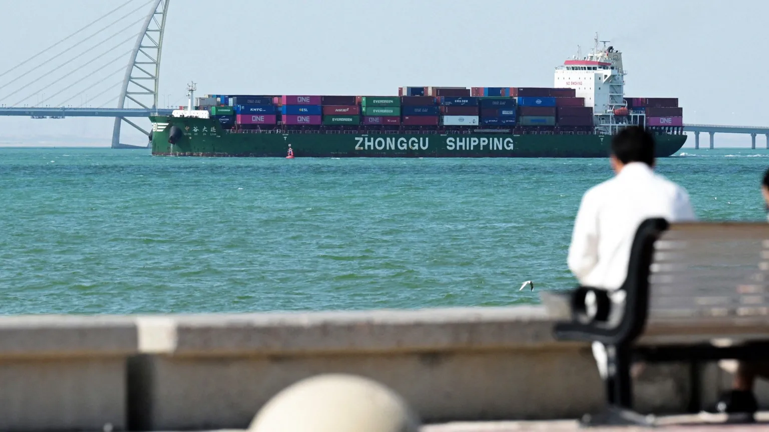
Ships use AIS partly to avoid collisions. Large vessels, such as 300-meter-long tankers carrying hundreds of thousands of tonnes of oil, require significant time and distance to turn or stop. Vessels can travel several kilometers before fully adjusting their course.
If the locations of nearby vessels are uncertain, the risk of collision increases, especially during nighttime or poor visibility conditions.
"That's the problem,"says Alan Woodward at the University of Surrey.
"Not you knowing where you're going – it's not knowing where everybody else is going."
Suspected Sources of GPS Jamming
There is no official confirmation regarding the party responsible for the jamming, but military analysts strongly suspect Iran is causing disruption to vessels. Iran has also threatened to attack any ship attempting to pass through the Strait of Hormuz.
Global Navigation Satellite System (GNSS) or GPS jamming tools used by Iran are likely domestically produced or assembled with equipment sourced from Russia or China, according to Thomas Withington, associate fellow at the Royal United Services Institute, a think tank.
He also suggests that US forces in the region employ jamming systems to protect their bases, personnel, and vessels from drones and GNSS-guided weapons.

When approached, the US Department of War told the BBC:
"Due to operations security we are not going to comment on the status of specific capabilities in the region."
Detecting GPS Jamming
Sean Gorman, co-founder of tech company Zephr.xyz, which has analyzed GPS jamming in countries including Ukraine, explains that aircraft data can reveal when GPS jamming occurs. However, with Iranian airspace now closed, Gorman has had to employ alternative methods.
Recently, he used radar data from a satellite to detect jamming in Iran. Although the BBC has not independently verified this data, Gorman states that jamming devices leave traces in radar signals, enabling detection of GPS-jamming events around the country.
In 2024, Gorman and colleagues used smartphones attached to drones to study GPS jamming in Ukraine. The drones flew while the smartphones recorded GPS information, capturing interference that was then mapped.
"We were looking at the [GNSS] measurements of all those phones,"he explains.
"You could triangulate to where the jammer was located."
"I was just amazed [at] the level of jamming and how powerful it is,"says Gorman.

Technologies to Counter GPS Jamming
Various technologies aim to protect against GPS jamming. Mitigation strategies include automatically detecting jamming or interference and switching to unaffected frequencies.
Defense contractor Raytheon produces a device called Landshield, roughly the size of an ice hockey puck in its smallest form. The company states this "anti-jam antenna system" can be installed on various vehicles, from cars to aircraft, using multiple channels to overcome jamming.
"We're seeing quite an increase in demand and capacity for our anti-jamming products at the moment,"says Alex Rose-Parfitt, engineering director of Raytheon UK.
Other companies have developed navigation tools that compensate for GPS vulnerabilities. Advanced Navigation, an Australia-based firm, has created a system that determines a vehicle's position using readings from gyroscopes and accelerometers—the same sensors smartphones use to detect orientation changes.
Regarding geographic positioning, Chris Shaw, co-founder and chief executive of Advanced Navigation, explains that their technology can use alternatives when GPS is unavailable or unreliable. These include matching optical imagery of the location with satellite images or analyzing the position of stars overhead through computer-based methods.
"The image processing is very advanced,"says Shaw.
"Doing something like… star-mapping is very inexpensive."He adds,
"It's just not very accurate."Therefore, multiple forms of location and position analysis may be necessary.

Challenges and Future Outlook
Without enhanced protection, GPS will likely remain vulnerable due to the weak nature of its signals, which are easily jammed. Militaries have access to "M-Code" GPS, a carefully authenticated and encrypted version of the technology that is significantly more resistant to jamming.
Ramsey Faragher, director of the Royal Institute for Navigation, warns that GPS jamming in waters off Iran increases the risk of maritime accidents. He anticipates that the growing prevalence of jamming will drive the adoption of more secure alternatives. He compares this evolution to the transition from open, publicly accessible Wi-Fi networks to password-protected ones.
"Soon, we will look back on this era where we are using open GNSS signals and think, 'God, we were mad, that was really not a smart move',"he says.


