Thunderstorms Sweep Across Southern England
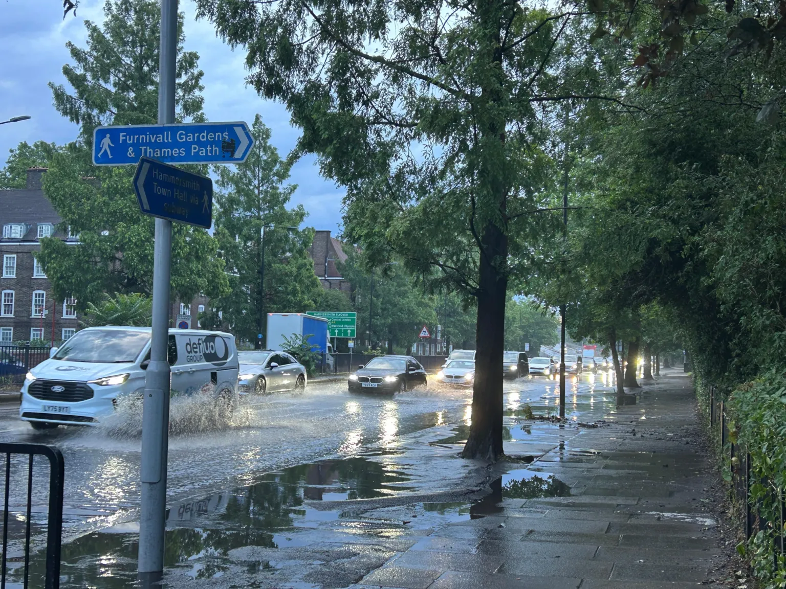
Thunderstorms overnight led to flash flooding and travel disruptions as southern England prepares for soaring temperatures of up to 40C in the coming days.
On Monday evening, thunderstorms moved into south west England and progressed eastward into the south east throughout the night. Numerous residents reported being awakened by loud thunderclaps and lightning flashes in the early hours.
Emergency Services Respond to Storm Incidents
The London Fire Brigade received approximately 400 calls overnight, including responses to two house fires believed to have been ignited by lightning strikes. Additionally, a house in Bristol was reported to have caught fire during an earlier storm in the evening.
Heatwave and Weather Alerts
These storms occurred as England prepares for a heatwave with temperatures expected to reach up to 40C. The Met Office has issued a rare red weather alert, which is set to take effect on Wednesday.

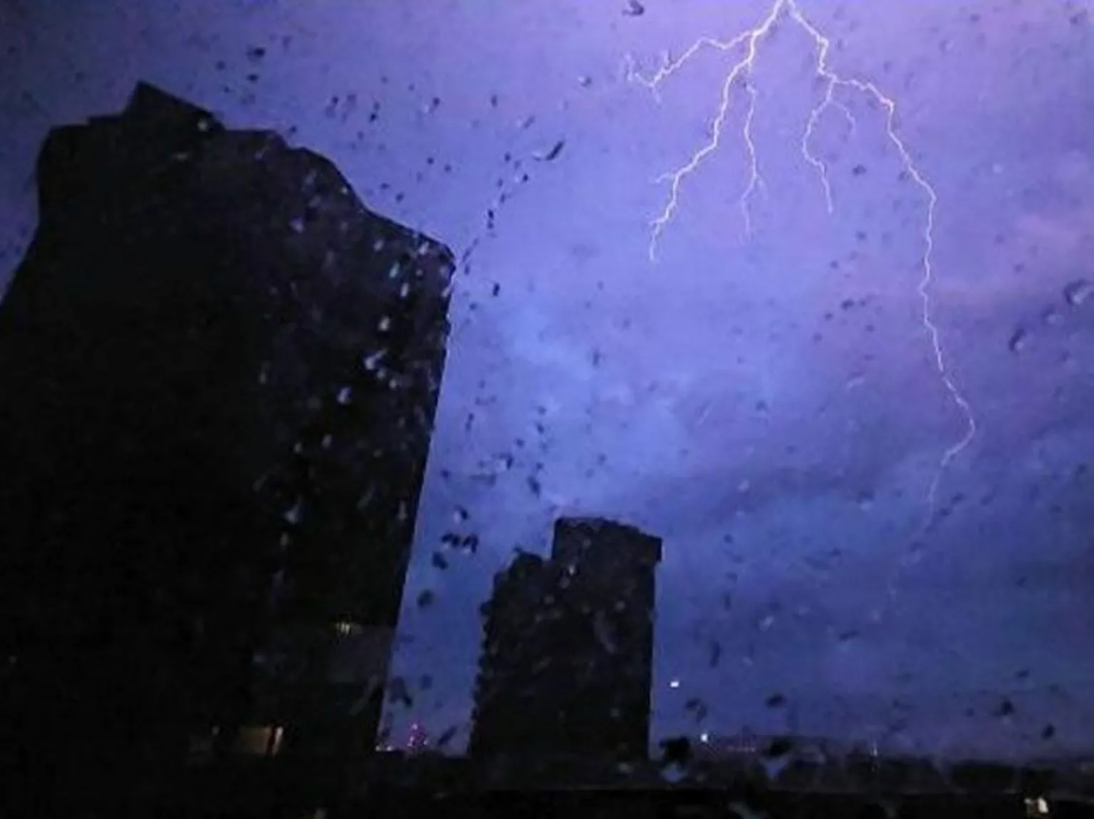
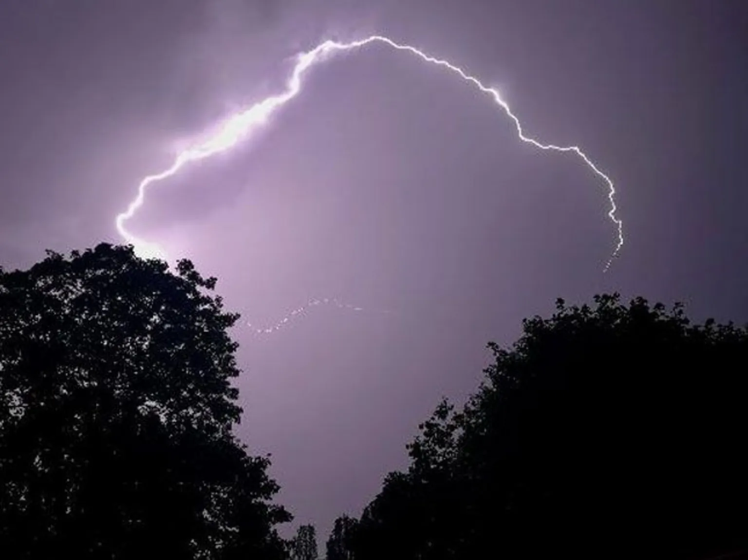
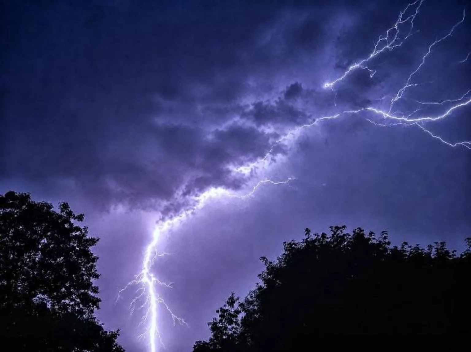
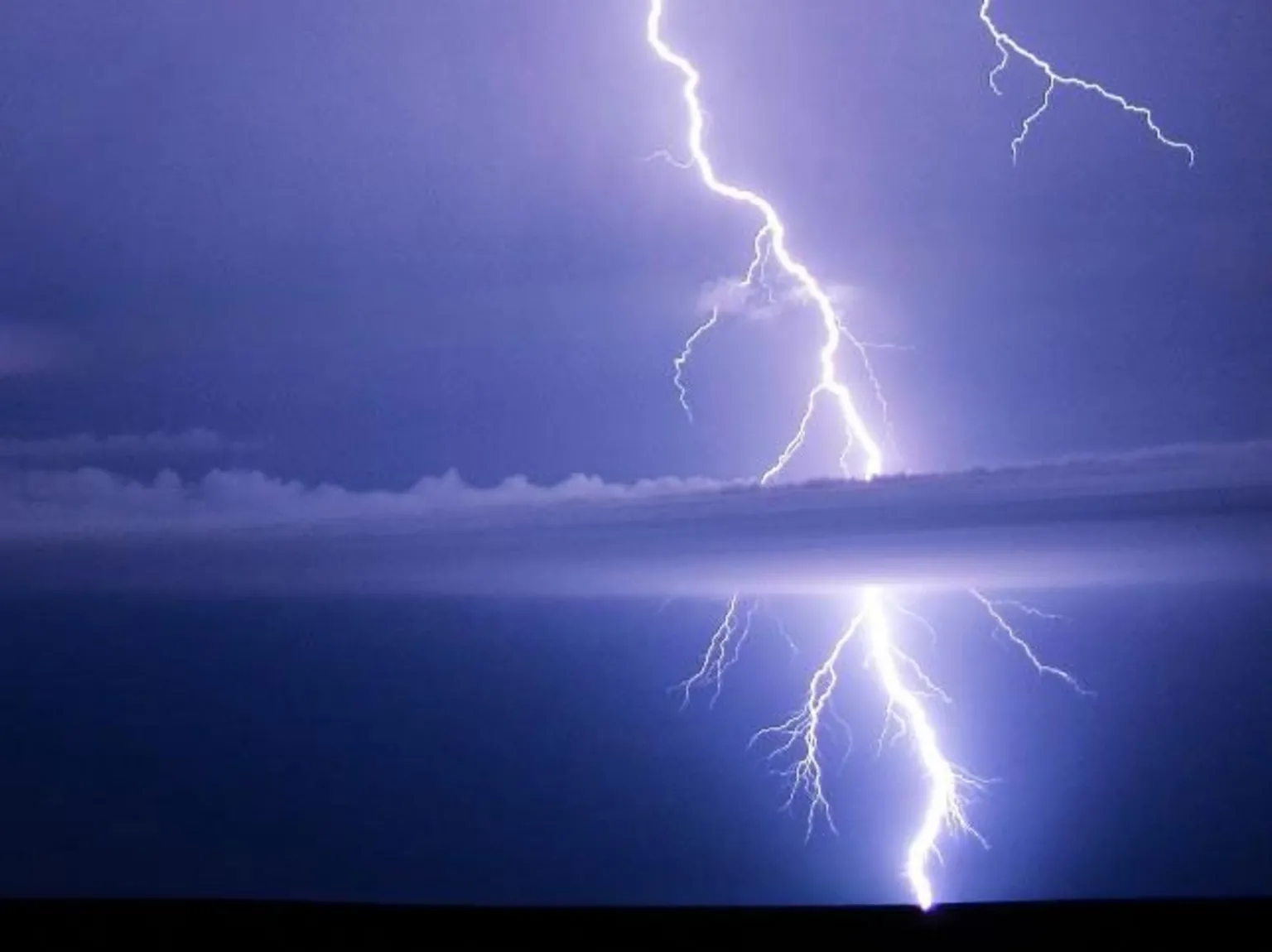
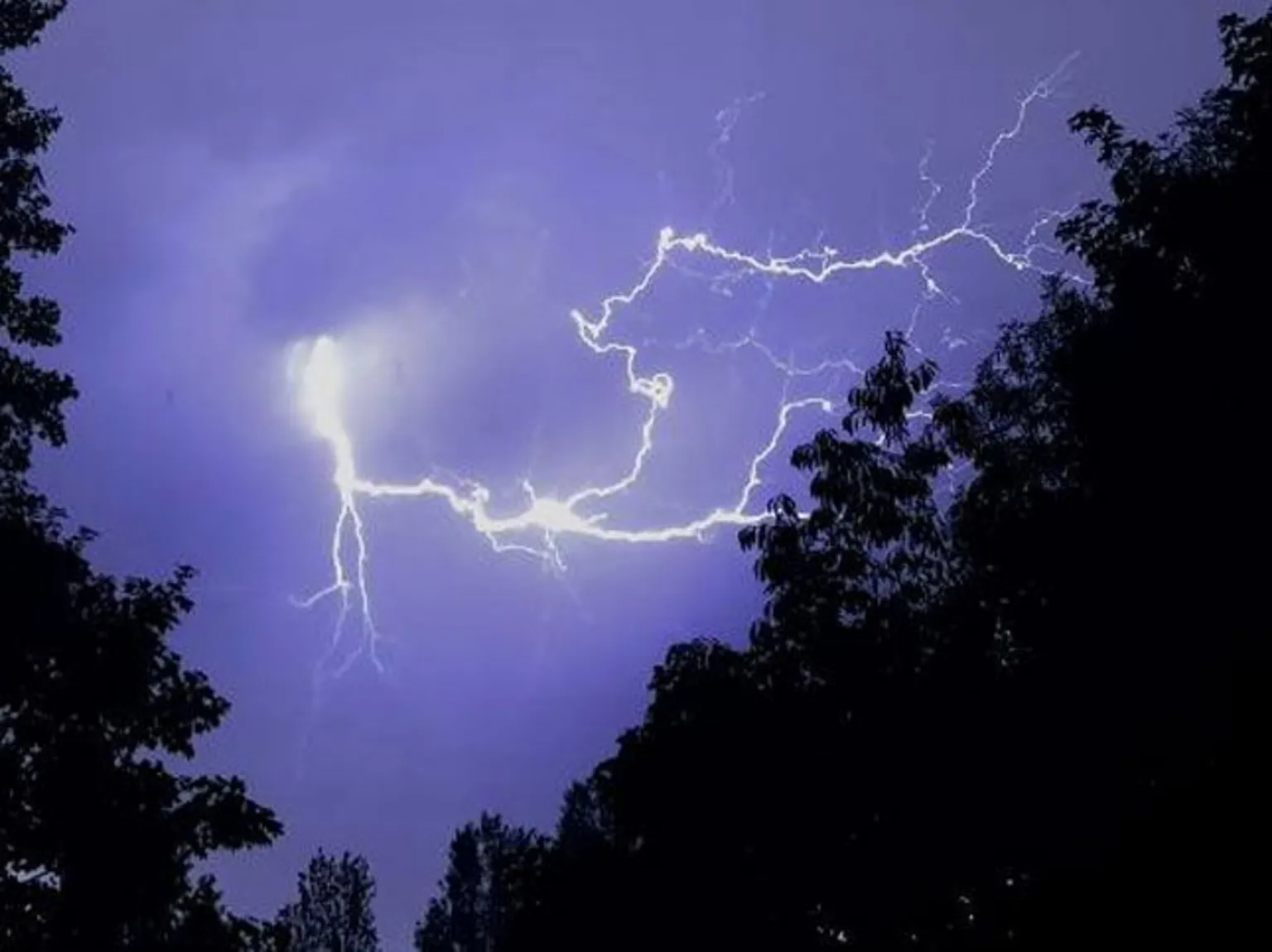
Lightning Strikes and Heavy Rainfall
Over the past 24 hours, around 7,000 lightning strikes were recorded, accompanied by heavy rainfall in some areas that caused flash flooding.
Causes of the Intense Thunderstorms
The development of these intense thunderstorms was influenced by several factors. Firstly, southern England experienced very warm to hot conditions on Monday afternoon, with temperatures rising into the high 20s and low 30s Celsius.
This heat transfers energy into the atmosphere, creating conditions ripe for thundercloud formation. This stored energy requires a trigger to transform into large cumulonimbus clouds responsible for thunderstorms.
The trigger in this case was an atmospheric disturbance higher in the atmosphere, which facilitated the release of the accumulated energy and resulted in the severe thunderstorms observed.