

CoastSnap and Citizen Science at Tyrella Beach
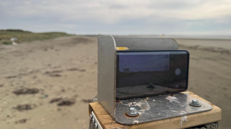
CoastSnap is an initiative within the broader project Co-creating Coastal Resilience (CoCor) that invites beach visitors to participate as citizen scientists in monitoring coastal changes. At Tyrella Beach in County Down, visitors can contribute by taking photographs through a fixed frame using their smartphones and uploading them via a dedicated website.
Each image contributes to a growing archive that researchers use to observe how the beach evolves over time. This data aids in understanding the impacts of coastal erosion, rising sea levels, and climate change.
Open days will be organized to guide the public on how to participate effectively.
Melanie Biausque, a geomorphologist with Geological Survey Northern Ireland, leads the Northern Ireland segment of the project. She studies coastline dynamics and emphasizes the value of regular beach visitors in enhancing scientific knowledge about coastal changes.
"We're trying to understand how the coastline changes now and how it will evolve in the future, what can we do now to protect it so it's not too impacted by the changes that are going to happen in the environment."
Why Tyrella?
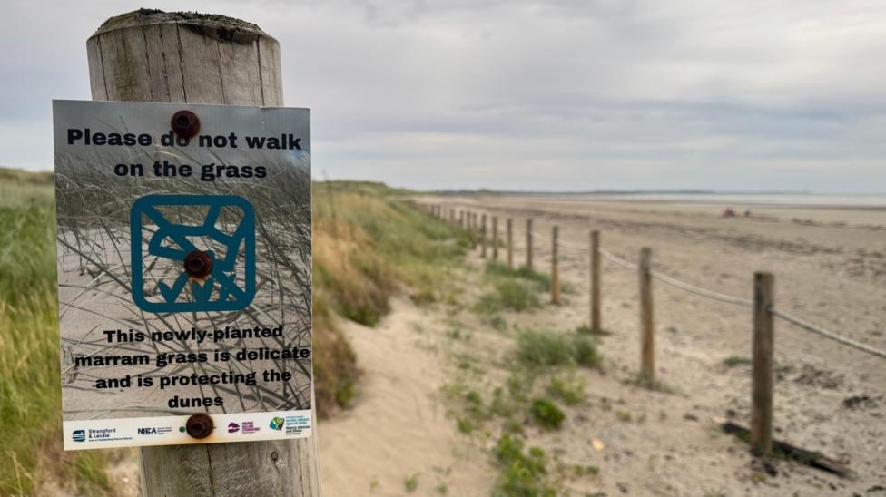
Tyrella Beach hosts Northern Ireland's first CoastSnap photo station, chosen due to the significant volunteer efforts in restoring its sand dunes. CoastSnap originated in Australia and forms part of the CoCor project.
Biausque became aware of local volunteer activities after attending a presentation to Newry, Mourne and Down council, where volunteers described their work collecting seeds to plant marram grass and installing fencing and signage to protect the seedlings.
"When I heard that, I realised that I had never had any idea that was happening - and I really wanted to put that on the map and to say, things are happening,"
"But one thing that we don't do is to see how that evolves."
The photographs collected will enable scientists to analyze the deposition of materials in specific areas and assess their effects on the coastline.
How is the Coastline Changing?
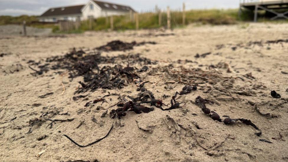
Coastlines naturally shift due to waves, tides, currents, and wind, with dunes growing and eroding over time. However, scientists including Biausque anticipate significant changes driven by sea level rise and increased storm frequency linked to climate change.

"If we want to understand how it's going to happen and what's going to happen on the coast, we need to understand what is happening now and how it works."
CoastSnap facilitates this understanding by enabling comparison of multiple photos taken from the same position over extended periods. This approach helps researchers build detailed insights into how the coastline reacts to varying weather and seasonal conditions.
The Northern Ireland project is funded by the Department for the Economy, with plans to install additional photo cradles and explanatory signage at other sites.
Participation is Simple
Participation requires only a smartphone. Photographs focus on a specific section of the coastline to compile a consistent database for study.
A steel cradle mounted on a fence post holds the phone horizontally, ensuring each photo is captured from the same angle. An opening in the cradle frames the targeted area, particularly the upper beach where volunteer restoration has occurred.
After taking a photo, participants scan a QR code on a nearby sign to upload their image to the CoastSnap website.
Biausque notes that the process is anonymous unless participants choose to provide their names.
"You don't have to leave your name or anything, unless you want to."
The project operates year-round, and the website offers options to report observations such as coastal erosion or vegetation changes, though this is optional.
"If you're coming in the winter and you can see coastal erosion or you can see vegetation change, you can click on those and you can add comments - though you don't have to,"
Regular visitors play a crucial role by providing frequent photographic updates that help scientists answer questions about coastal dynamics.
"Why do we have algae standing here? Why sometimes you can see the vegetation progressing? Why do you come in the winter and the beach is so different?
All of this is the interaction between the sand or the sediment and the waves, the currents, the tides, and at the minute we know that all of those processes are going to change in the future.
But to understand how we can live with it and adapt around that, we need to understand better how it works today. So that's why we need to collect."


